Labor Day isn’t going to be a relaxing holiday for residents along Florida’s Atlantic coast.
Hurricane Dorian is expected to slam into the state as a major hurricane according to the latest forecast from the National Hurricane Center. As of 11am ET, Dorian was still a Category 1 storm with sustained winds of 85 mph. It’s expected to become a major hurricane—defined as a Category 3 or higher, with sustained winds of at least 111mph—on Friday.
The storm is currently expected to move over the Atlantic, bypassing the southeastern and central Bahamas. On Saturday, it should approach the northwestern Bahamas, moving near or over them on Sunday.
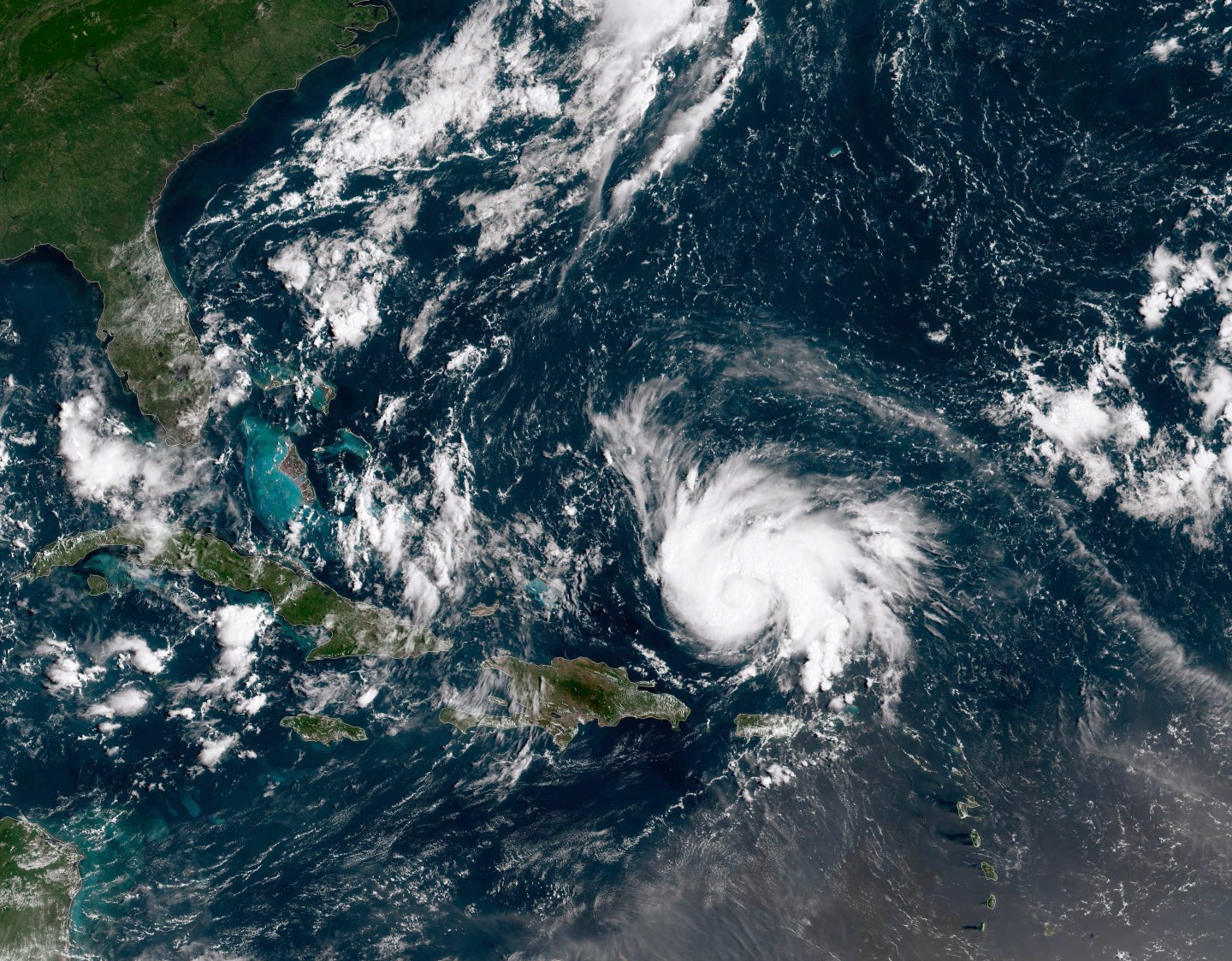
On Monday, it’s expected to hit Florida. The cone of uncertainty is still large, putting the whole eastern side of the state on alert, but the NHC early forecast indicates a possible landfall in the Melbourne area.
Florida residents are preparing for the storm, emptying grocery stores and making preparations. Gov. Ron DeSantis issued a state of emergency for 26 Florida counties on Wednesday. As of Thursday morning, no evacuation decisions had been made by local authorities, since the storm was still several days away and the path could change.
The storm is expected to retain hurricane force winds through at least Tuesday morning as it possibly crosses over Florida. Forecasters, though, have not ruled out a possible strike along the southern Georgia coast.
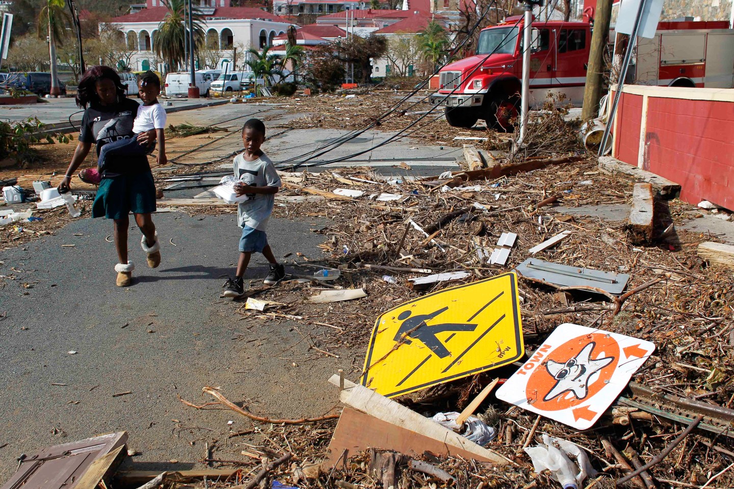
Florida is still recovering from Hurricane Michael, a 2018 Category 5 storm that slammed into the area just east of Panama City Beach, Fla. including Mexico Beach and Tyndall Air Force Base with wind speeds of 155 mph.