While many areas of the country might argue it couldn’t possibly get any colder, they may be about to learn otherwise.
As the sustained sub-freezing weather across America sets new record lows, another Arctic blast is preparing to move across the border. And meteorologists say that could make things miserable for quite some time.
“While the level of cold will vary from one day to the next, indications are that the frigid weather will linger through the first week of January in the Central and Eastern states,” said Max Vido, long-range meteorologist at AccuWeather. “It may not be until toward the second or third week of the month before many areas get above the freezing mark for a time.”
The blast is set to hit the midwest and northeast Thursday and Friday. That, along with the remnants of the most recent arctic blast, could potentially combine with an Atlantic storm and bring snow to the eastern seaboard mid-week.
The additional blast of air could set new lows in areas like New York City, Philadelphia, Washington, D.C. and Baltimore.
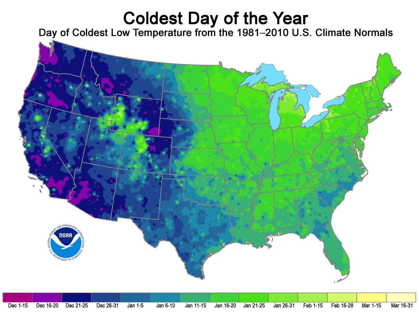
Even worse? The cheery folks at the National Oceanic and Atmospheric Administration point out that in many parts of the country, we’re still a long way from the average coldest day of the year.

California? Seattle? You may be in the clear. East Coast? Keep those long johns handy.


